REGARD SUR UNE MUTATION
Commande photographique de l’établissement public d’aménagement Bordeaux Euratlantique 2019-2026
600 images
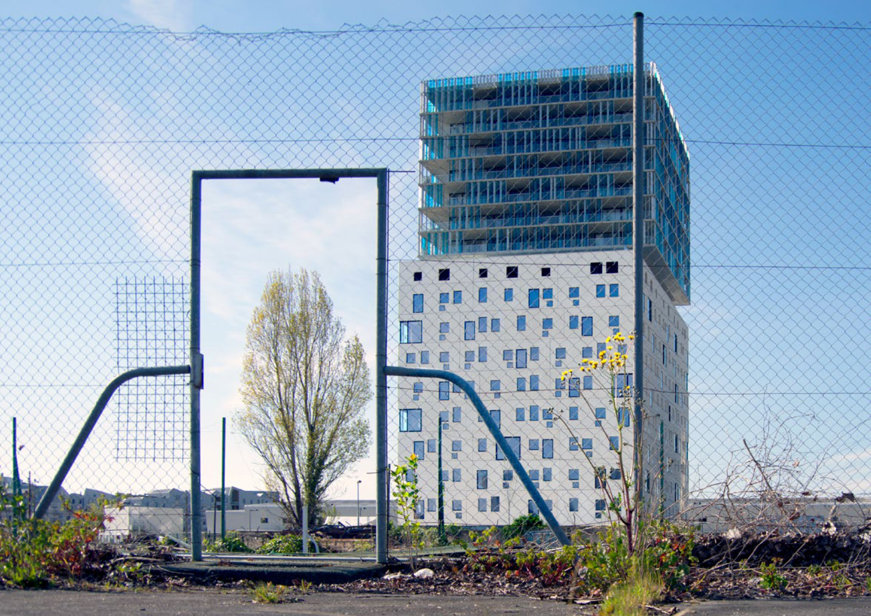
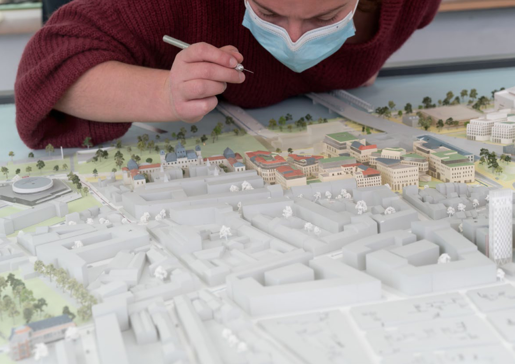
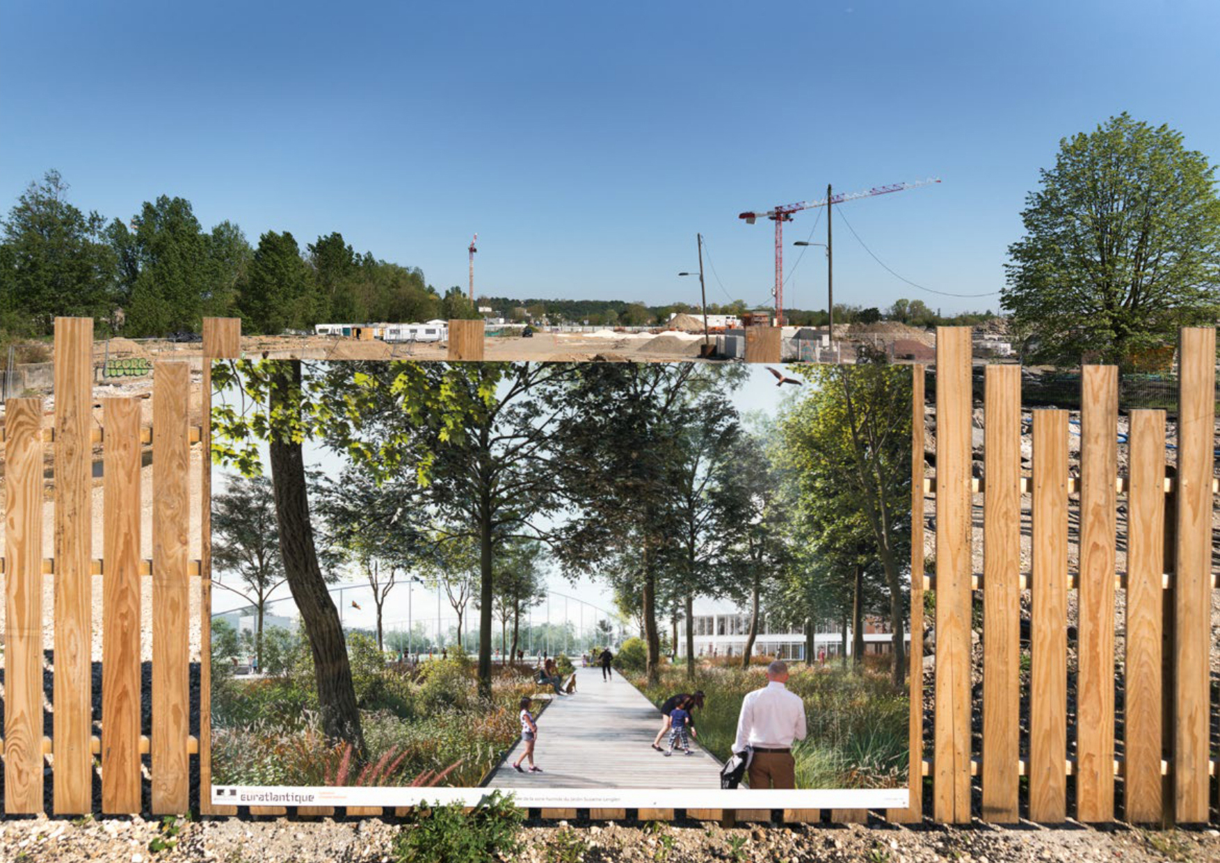
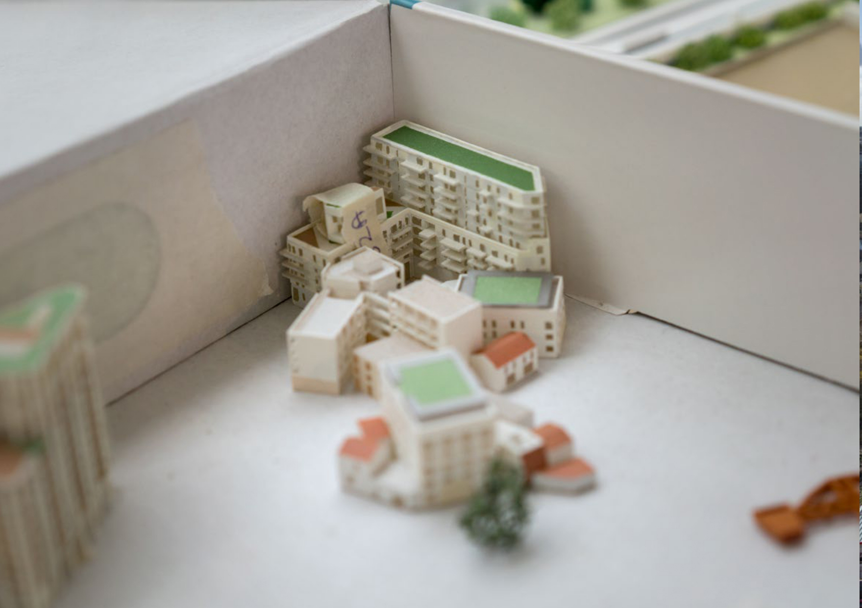
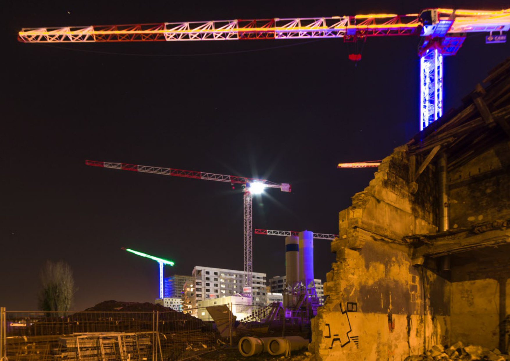
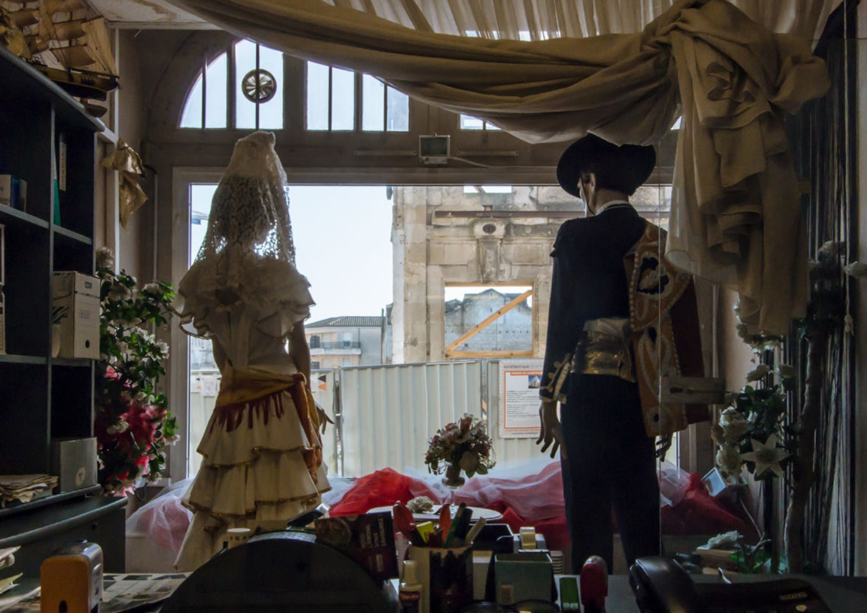
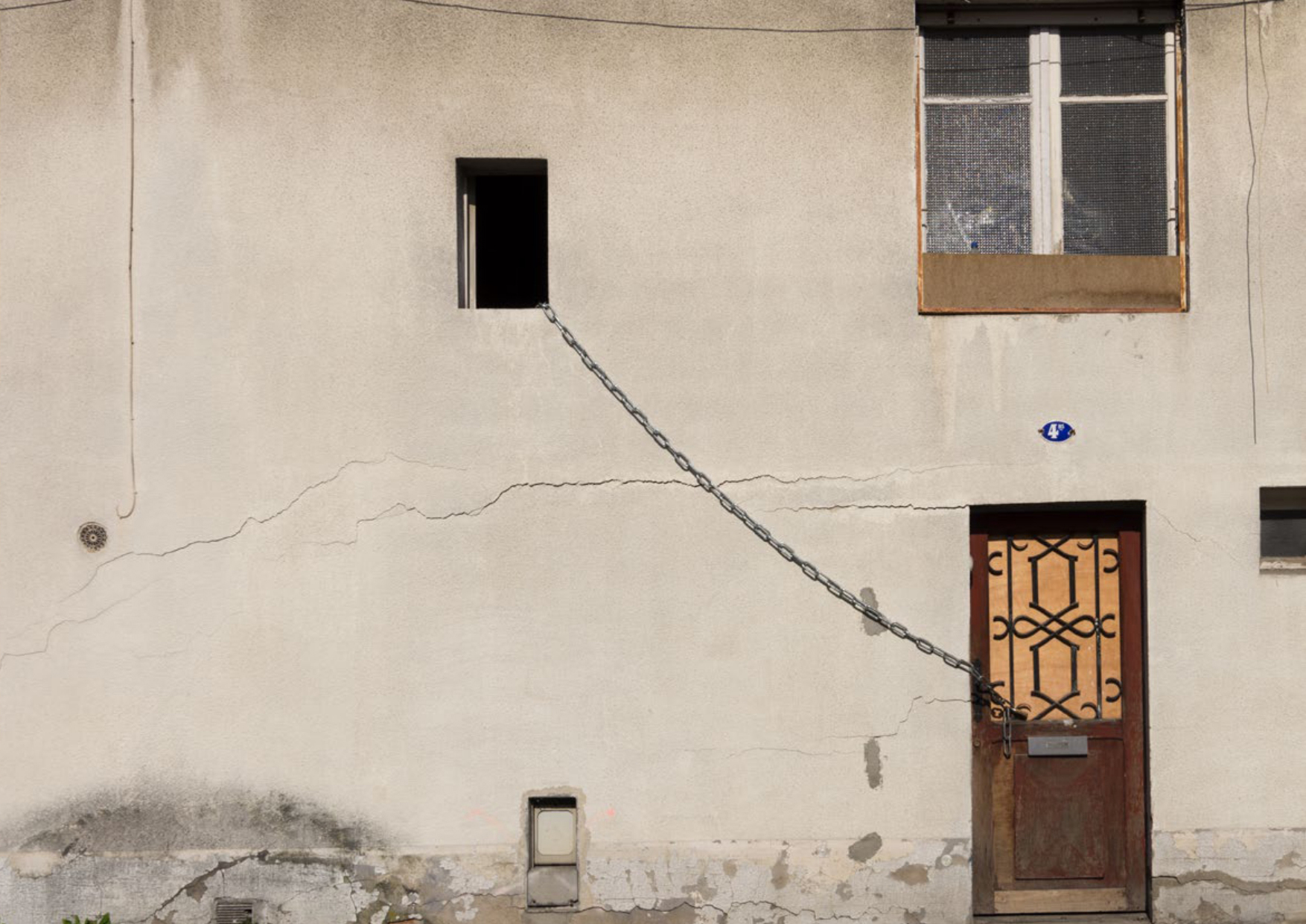
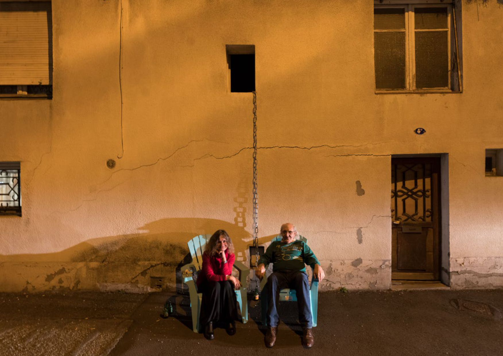
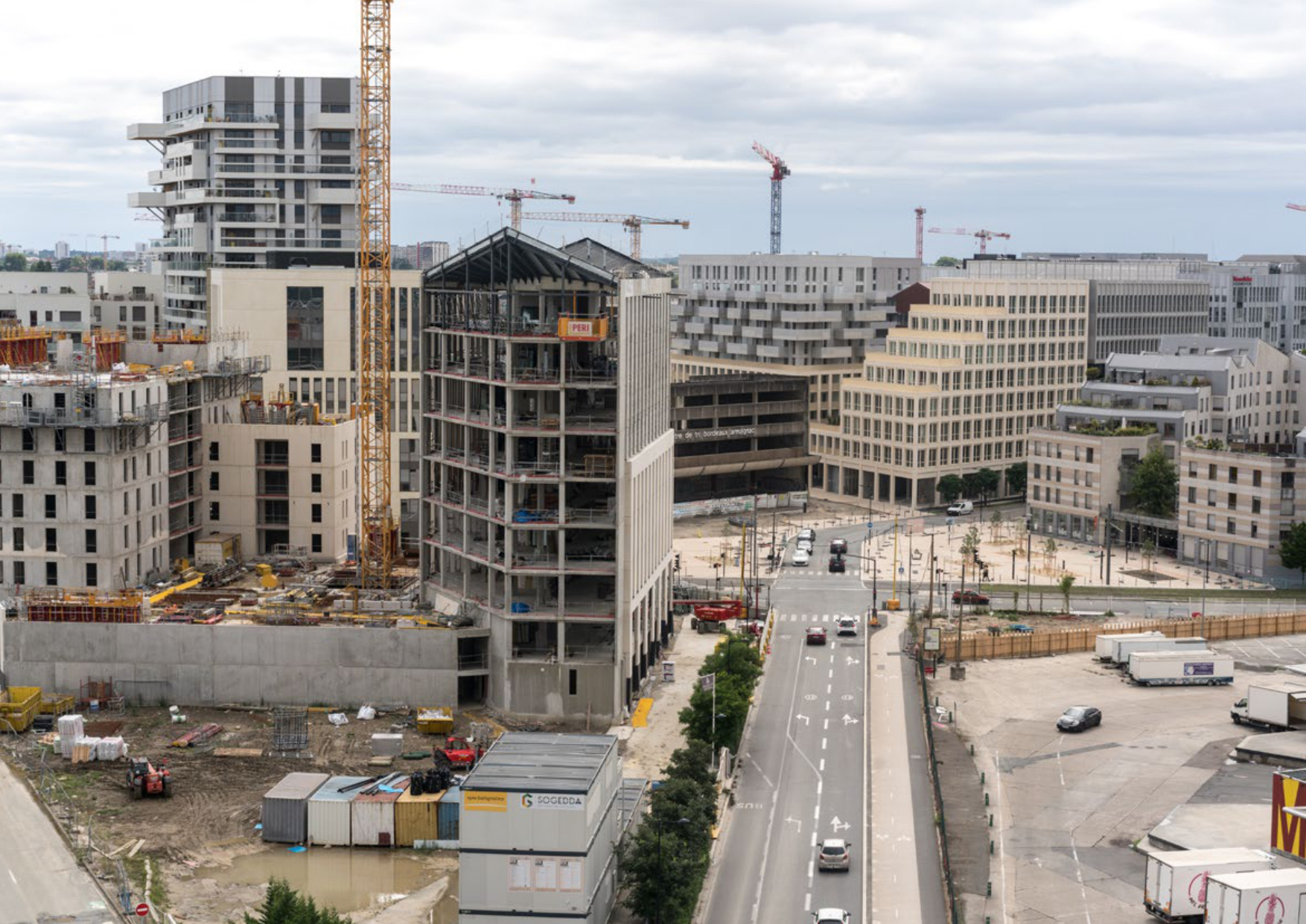
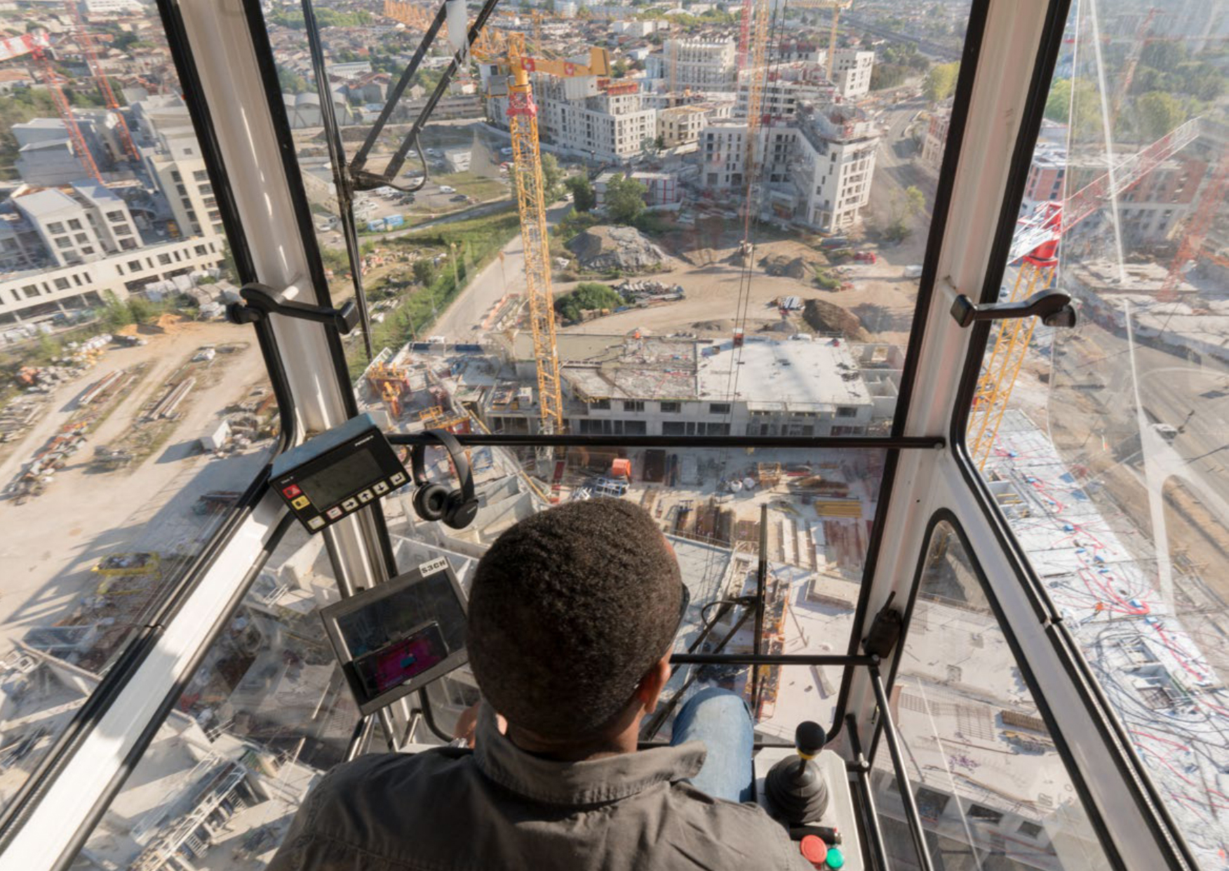
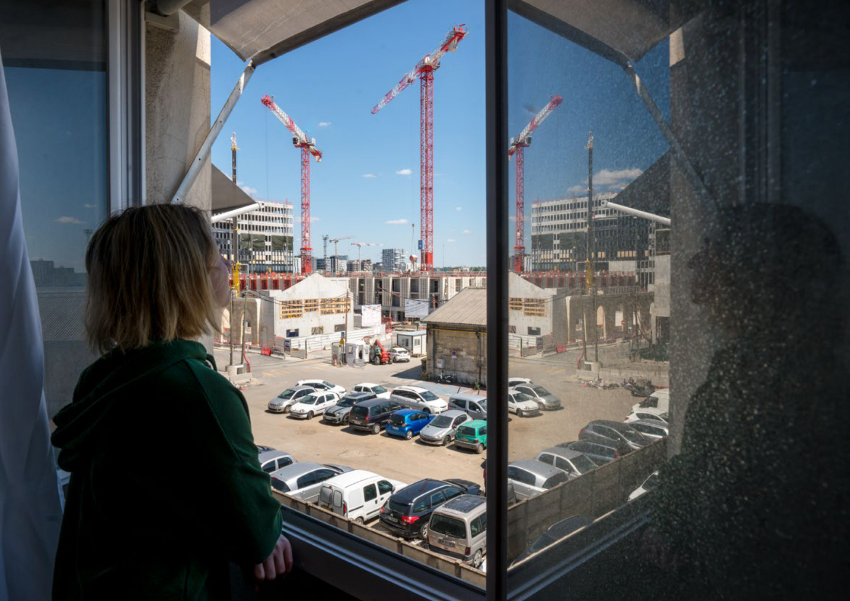
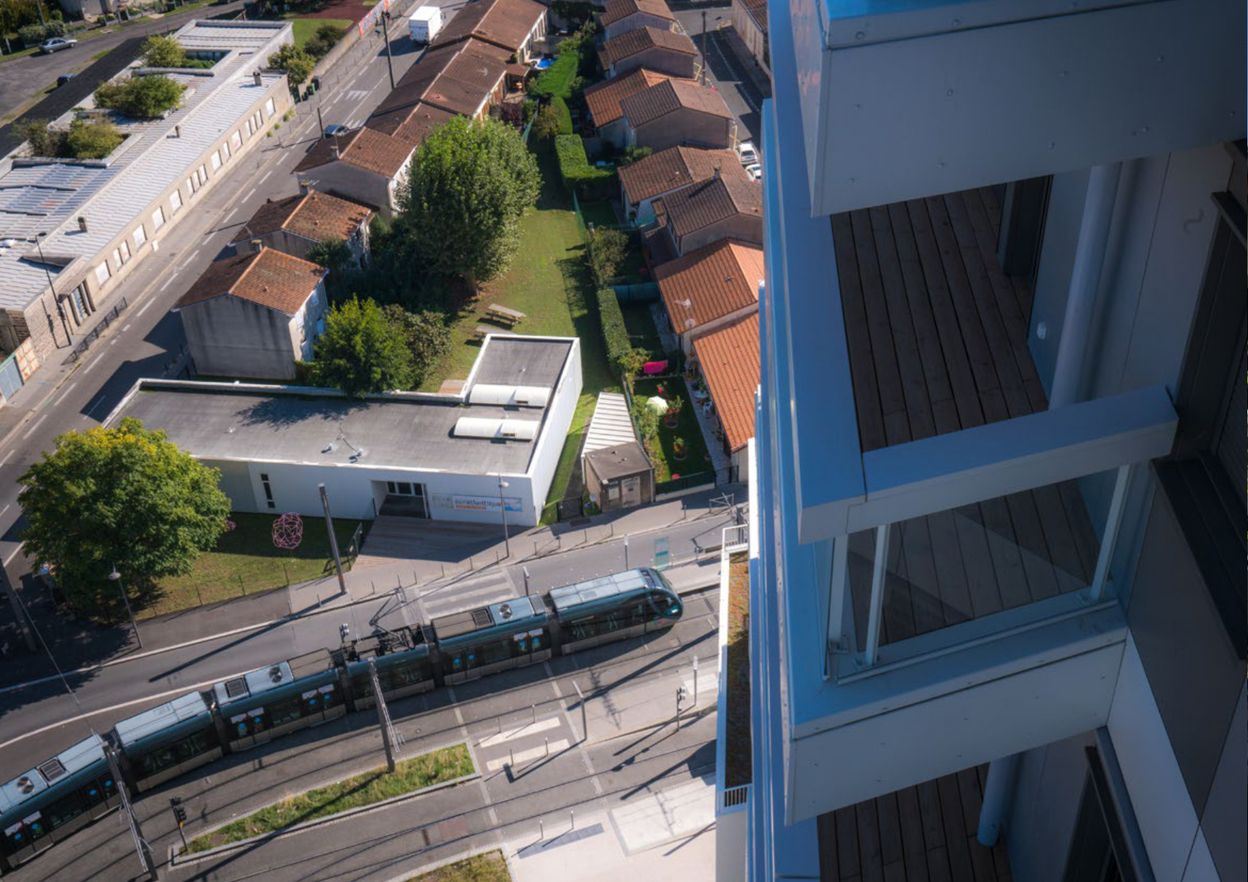
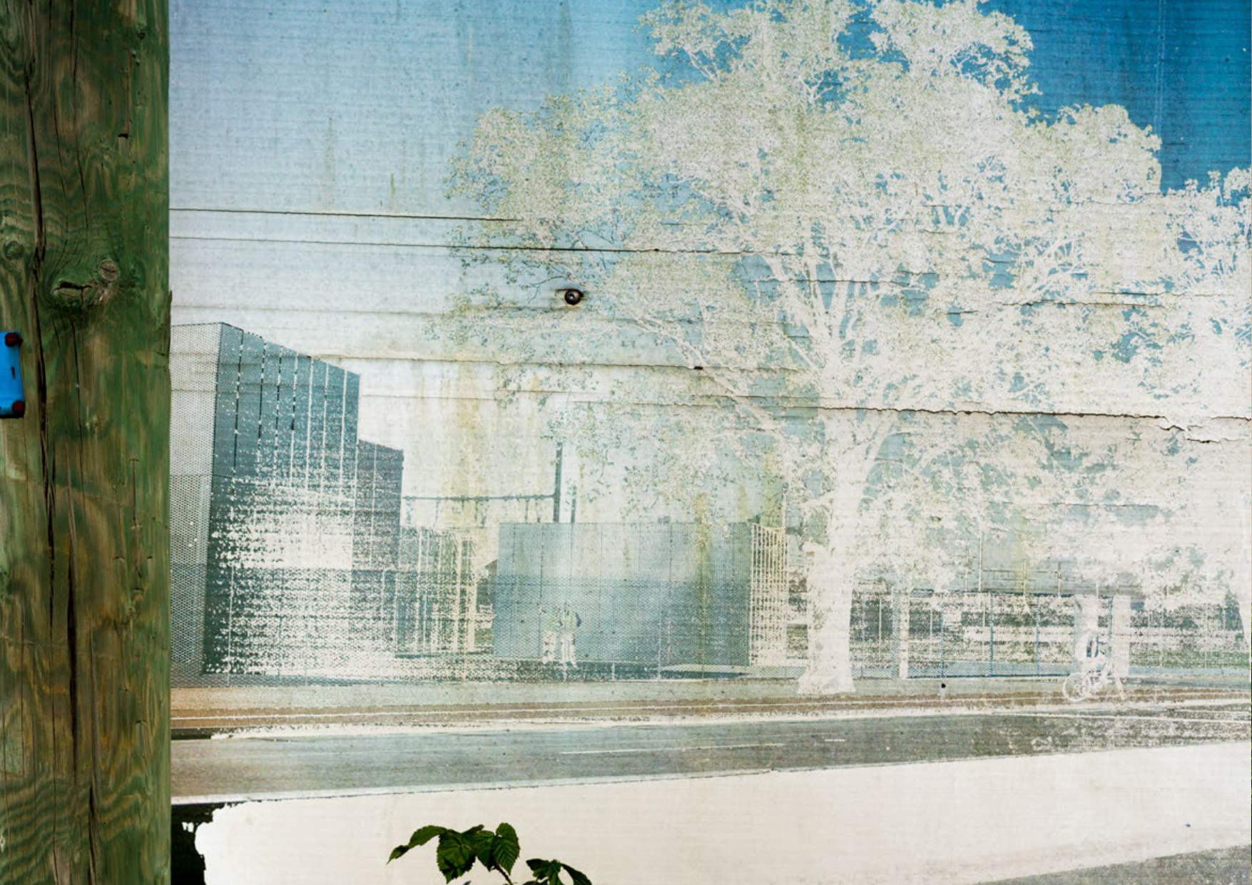
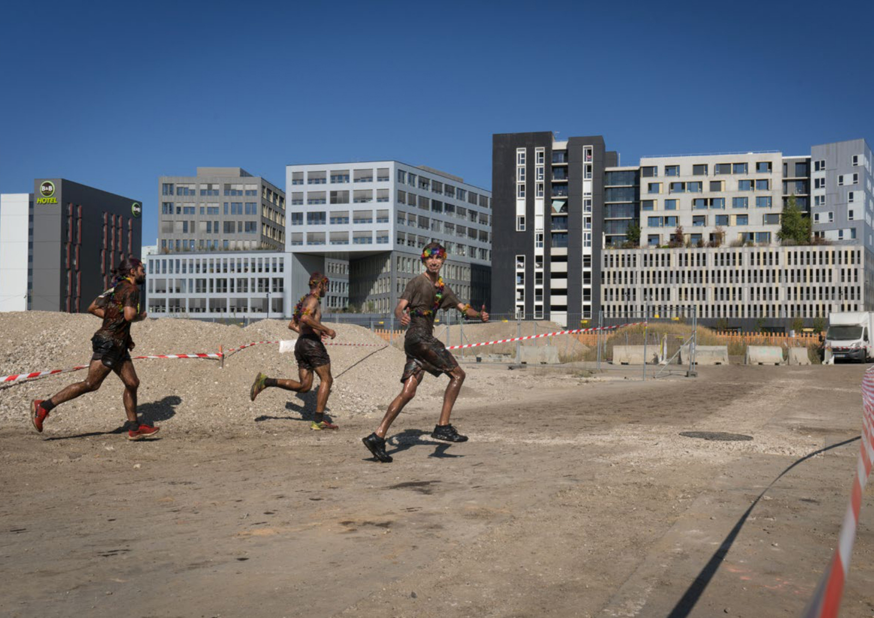
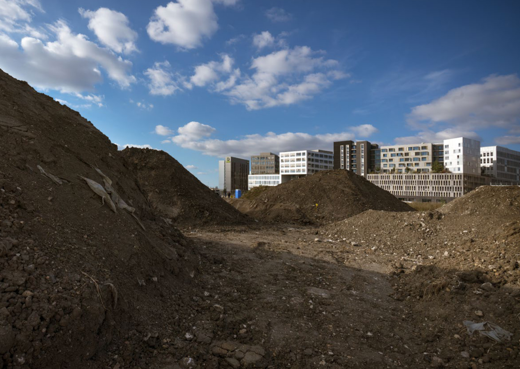
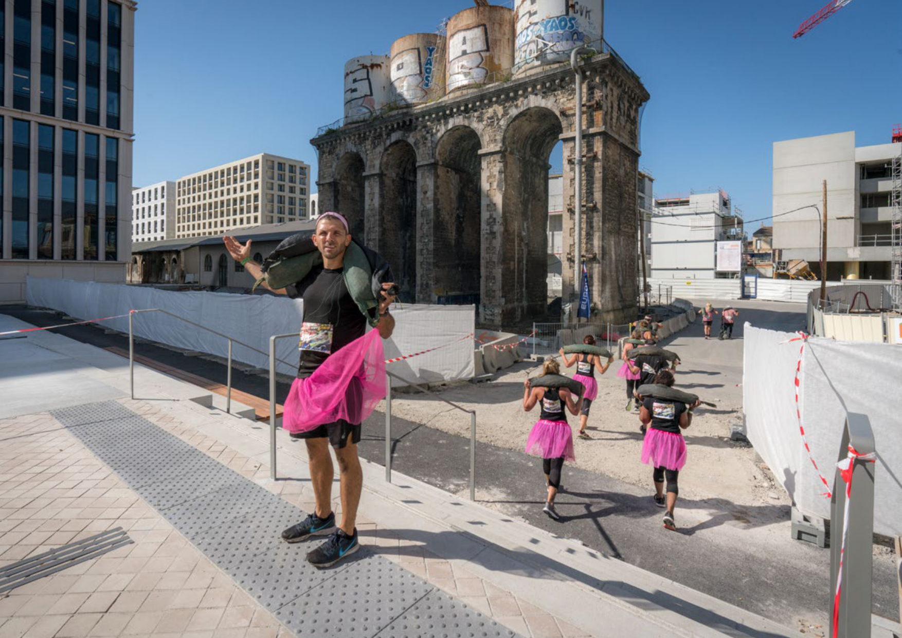
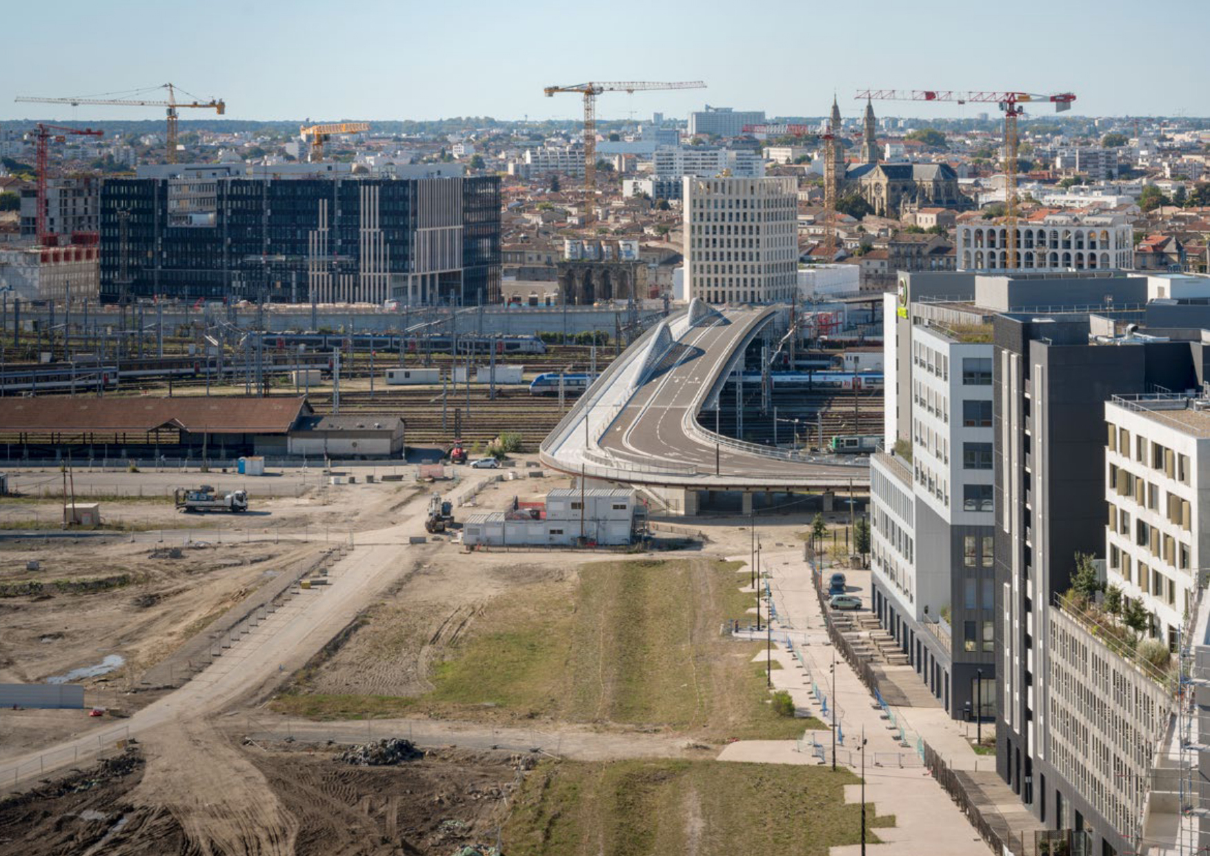
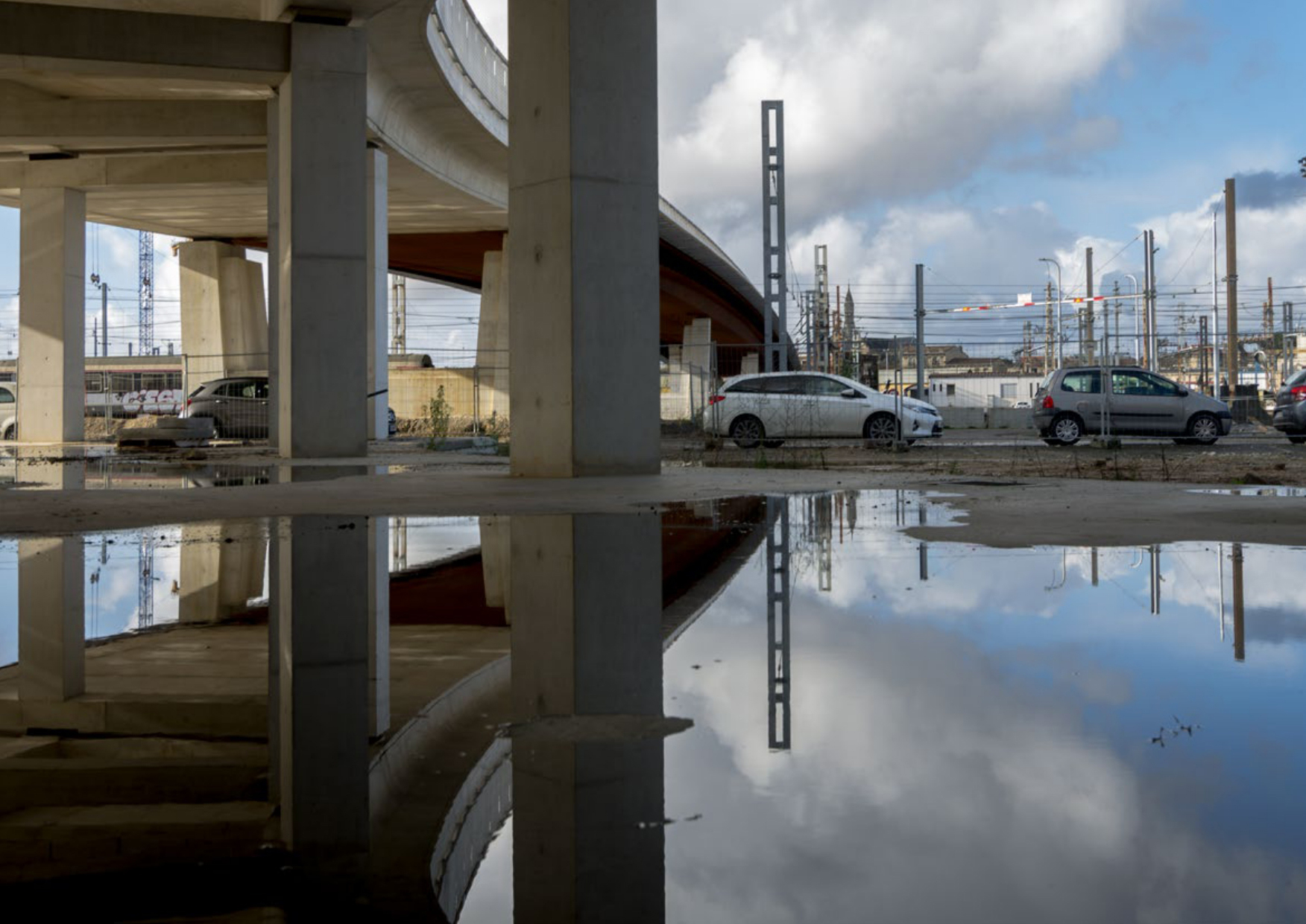
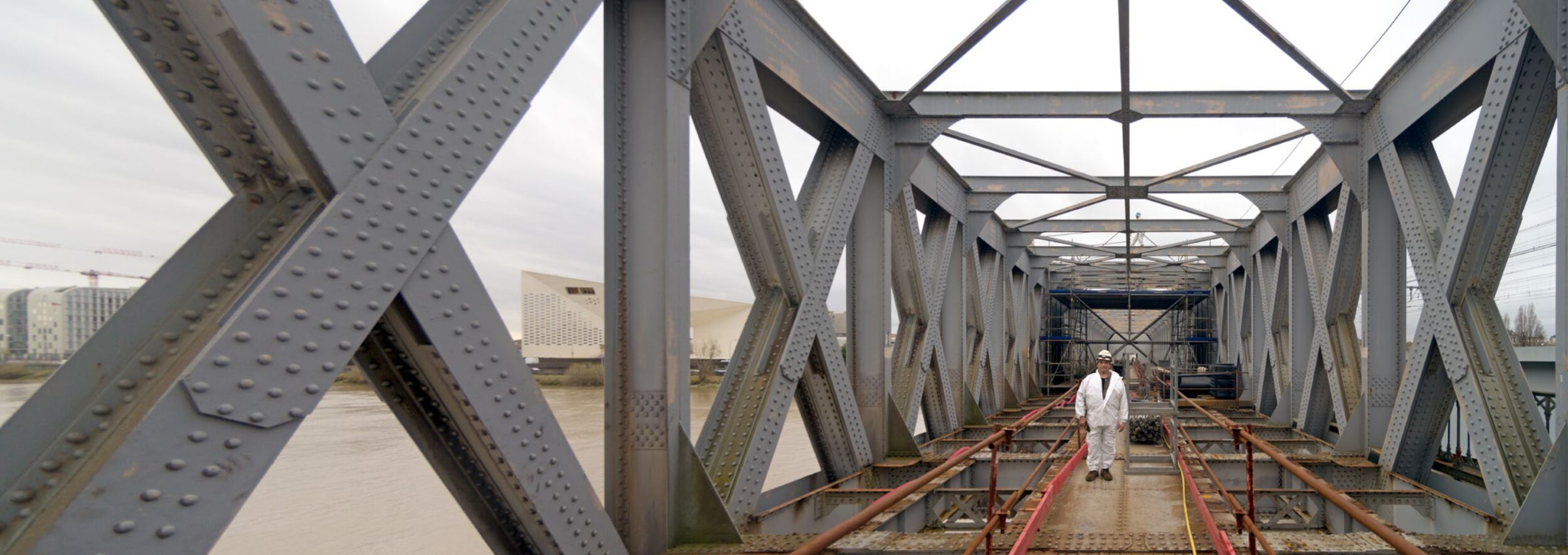
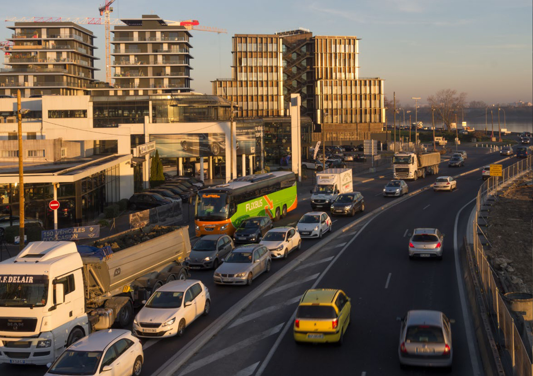
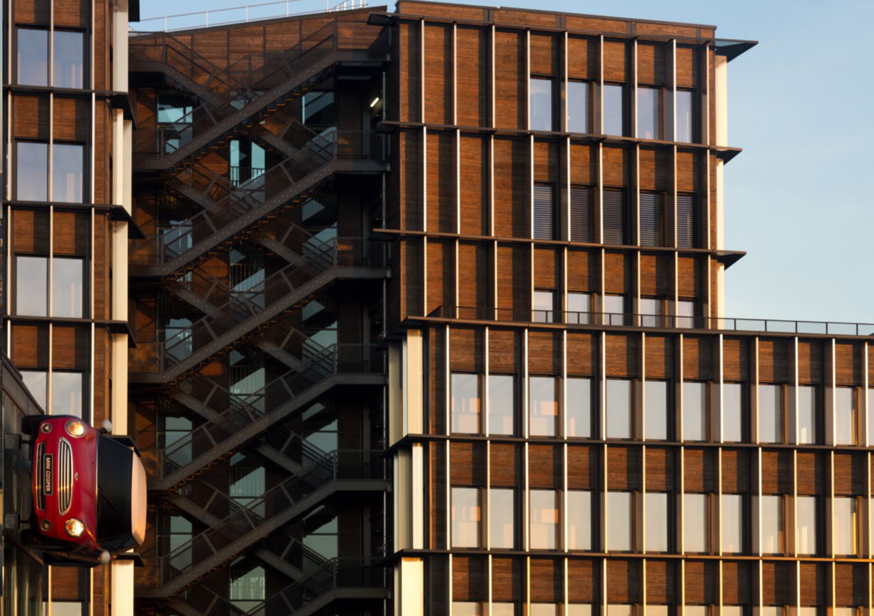
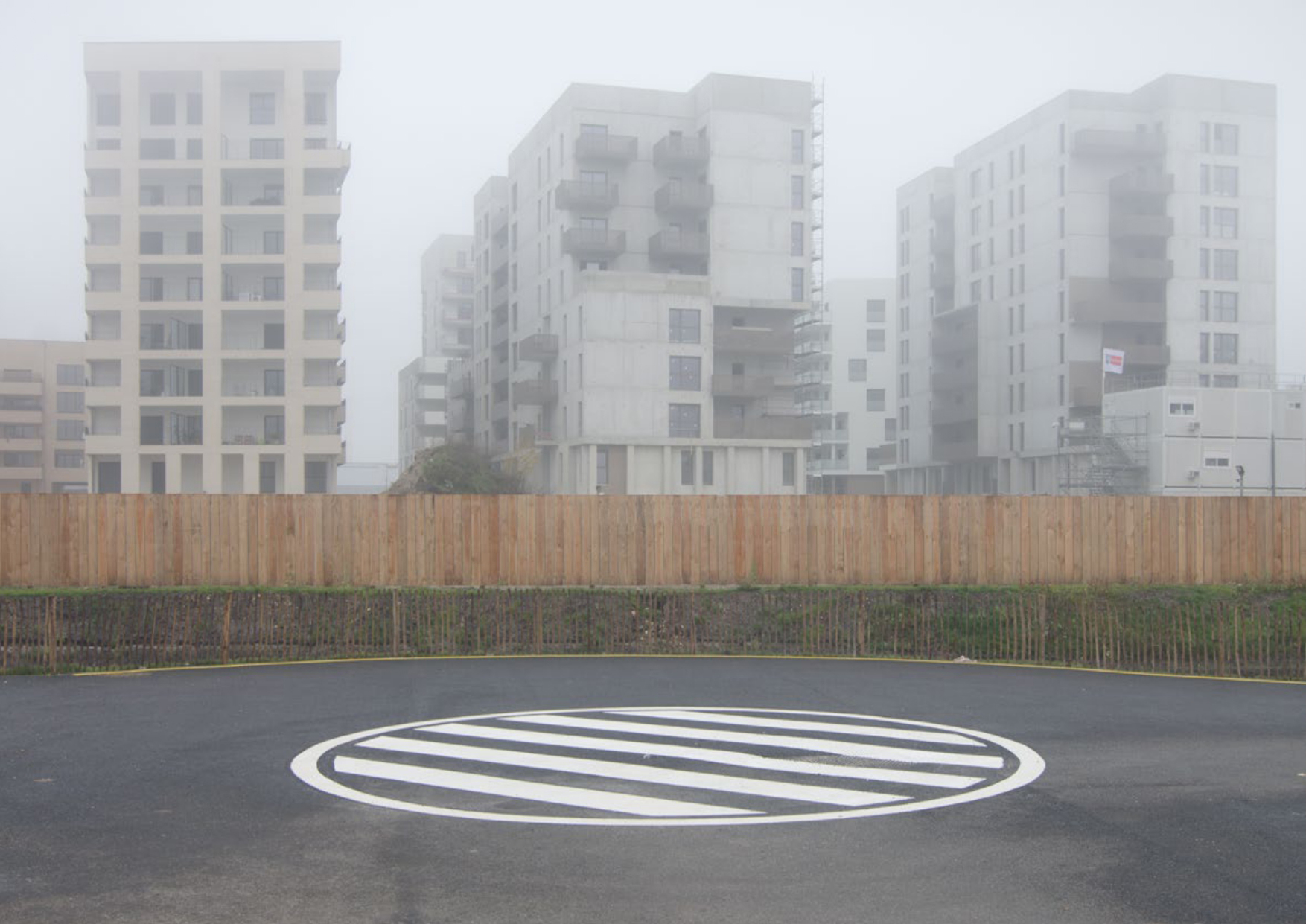
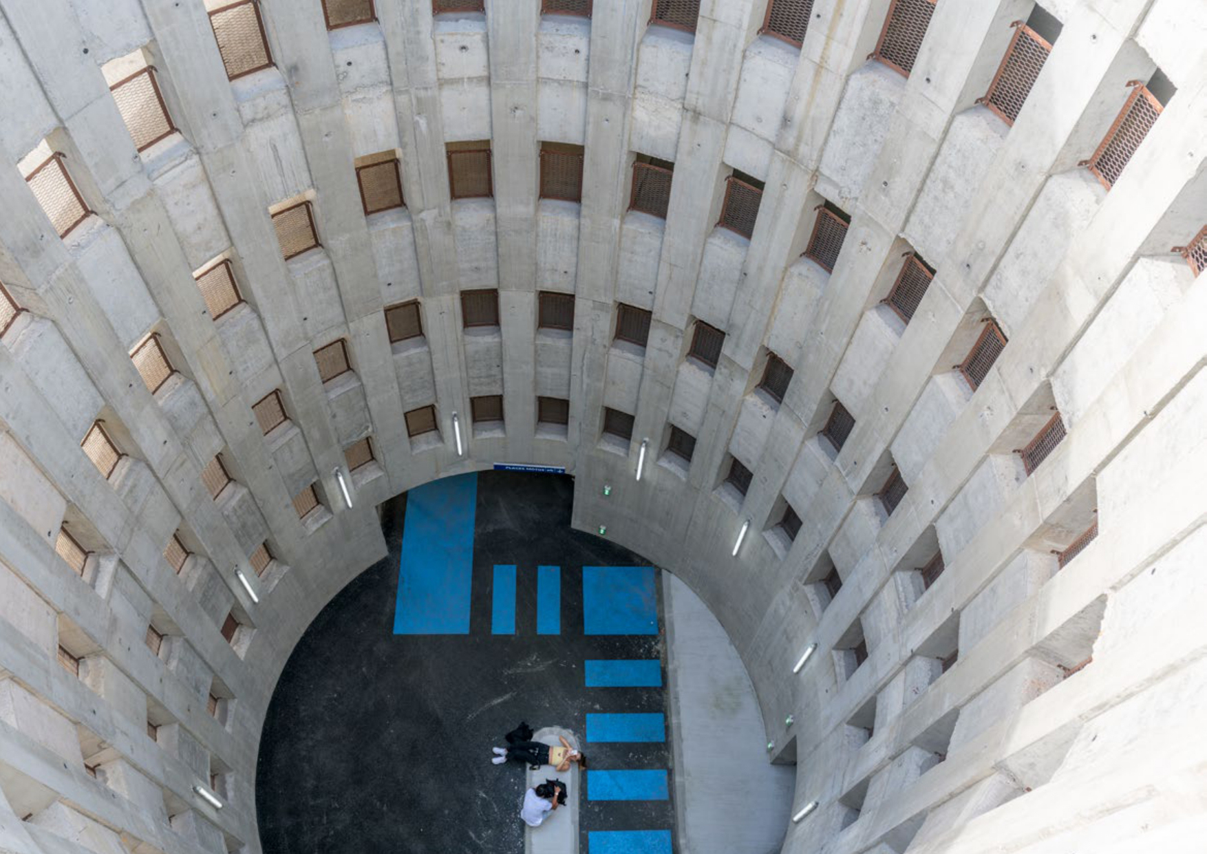
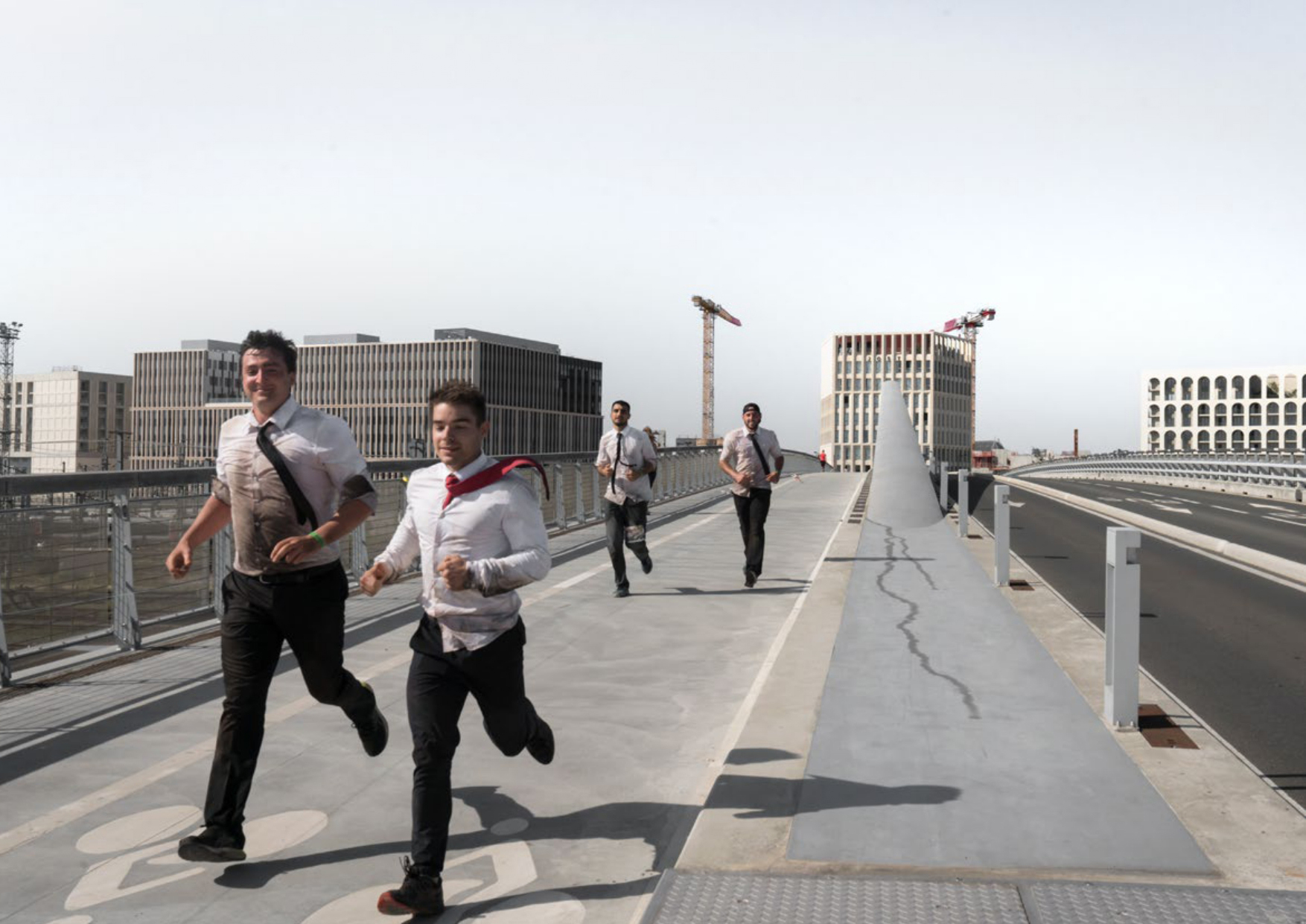
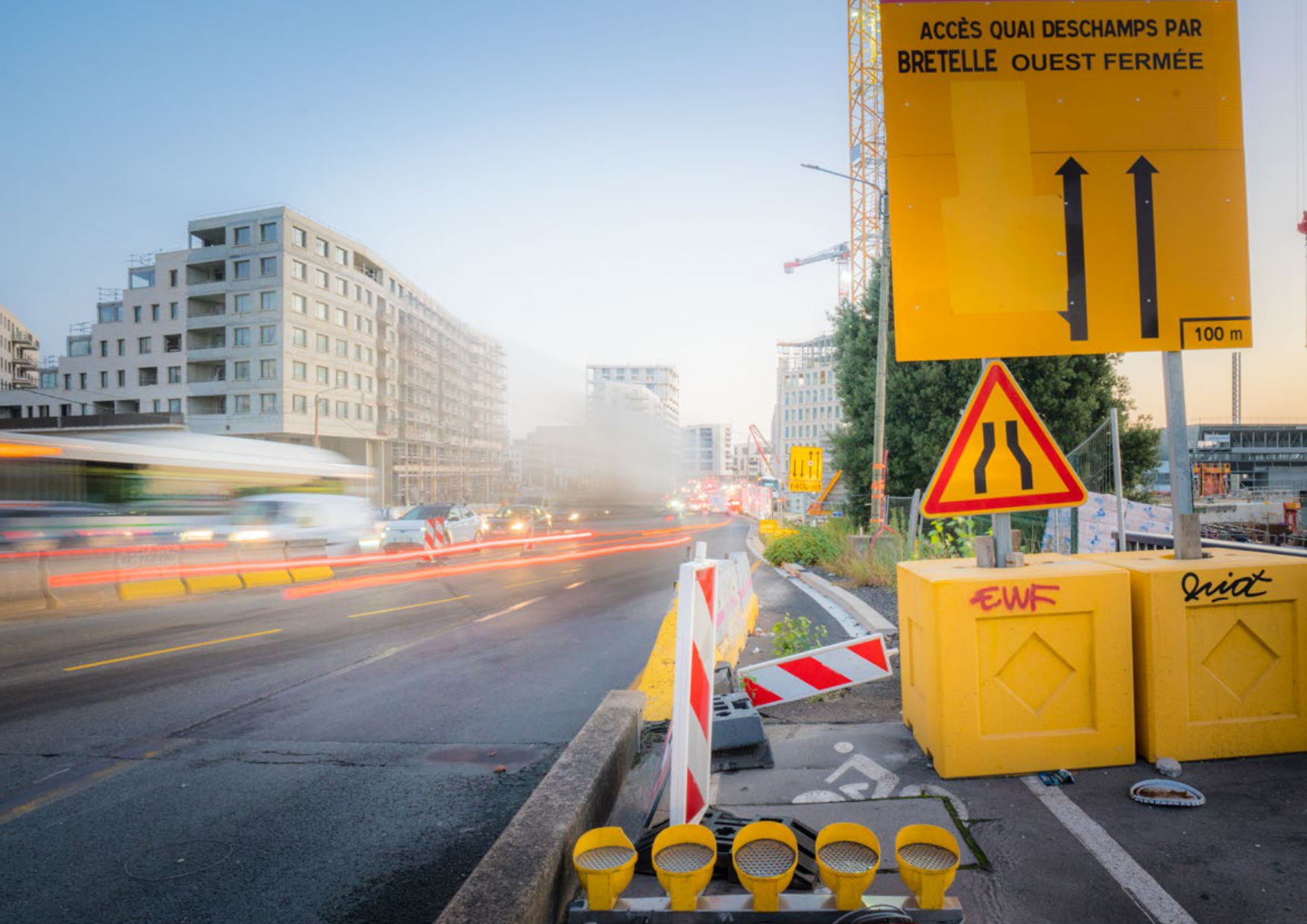
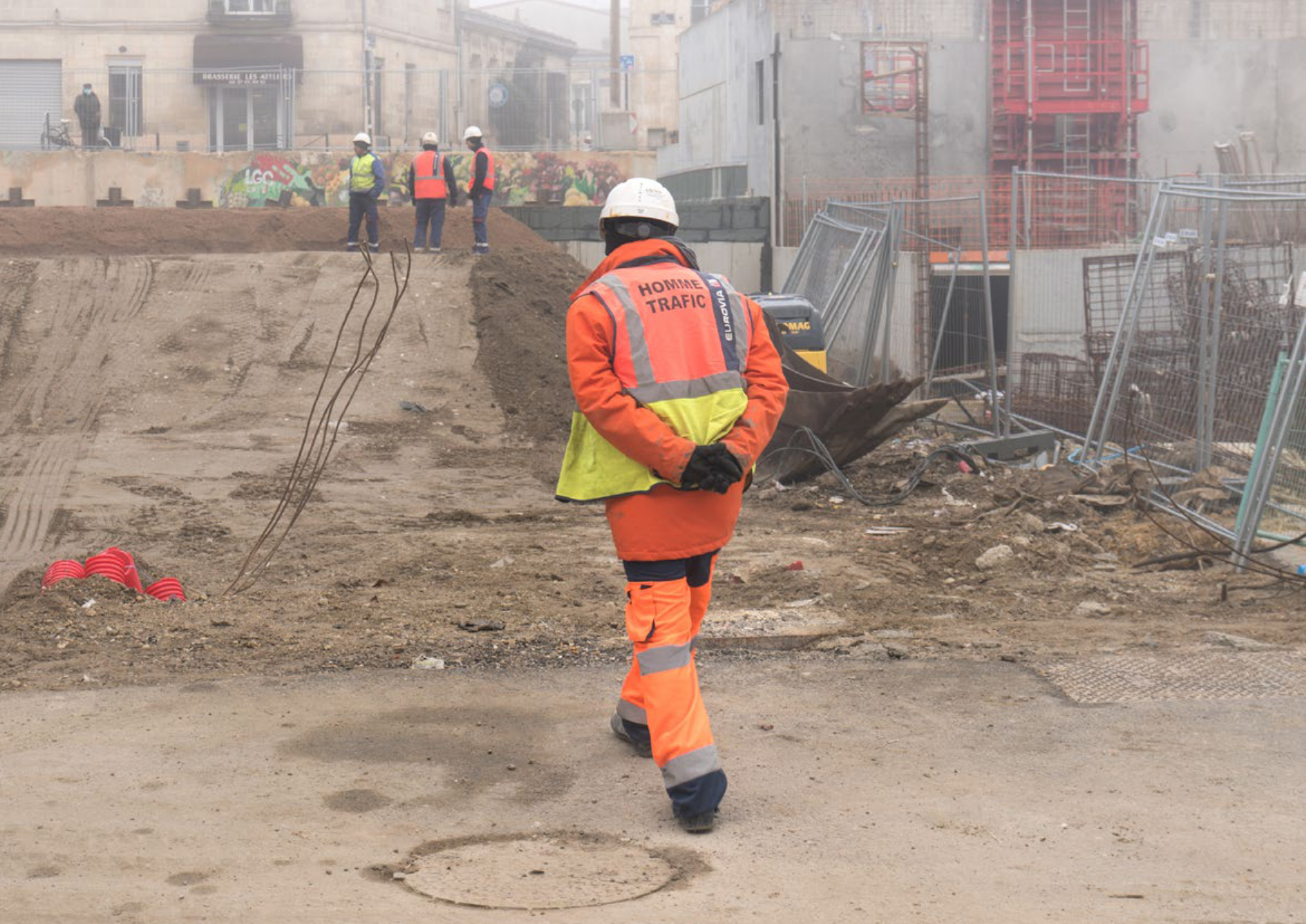
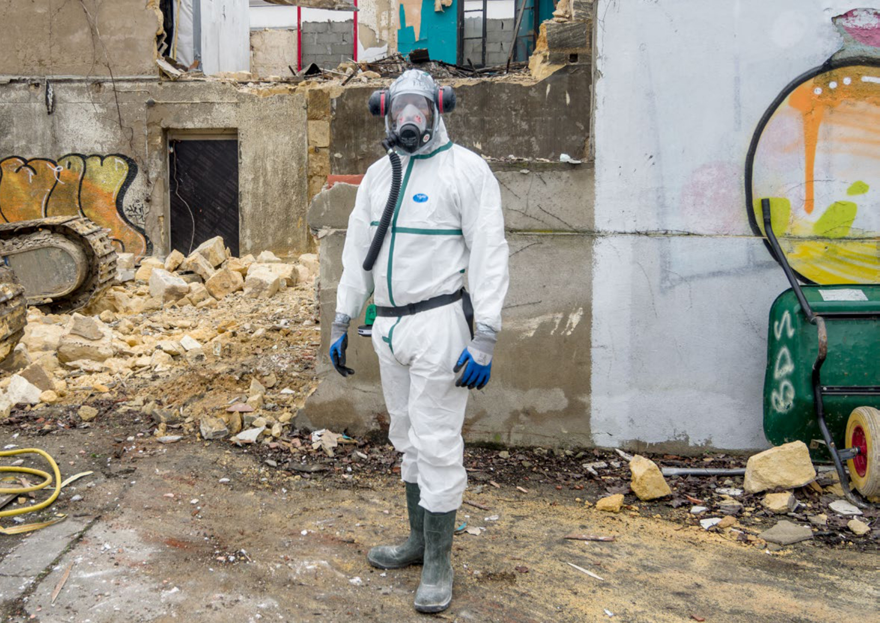
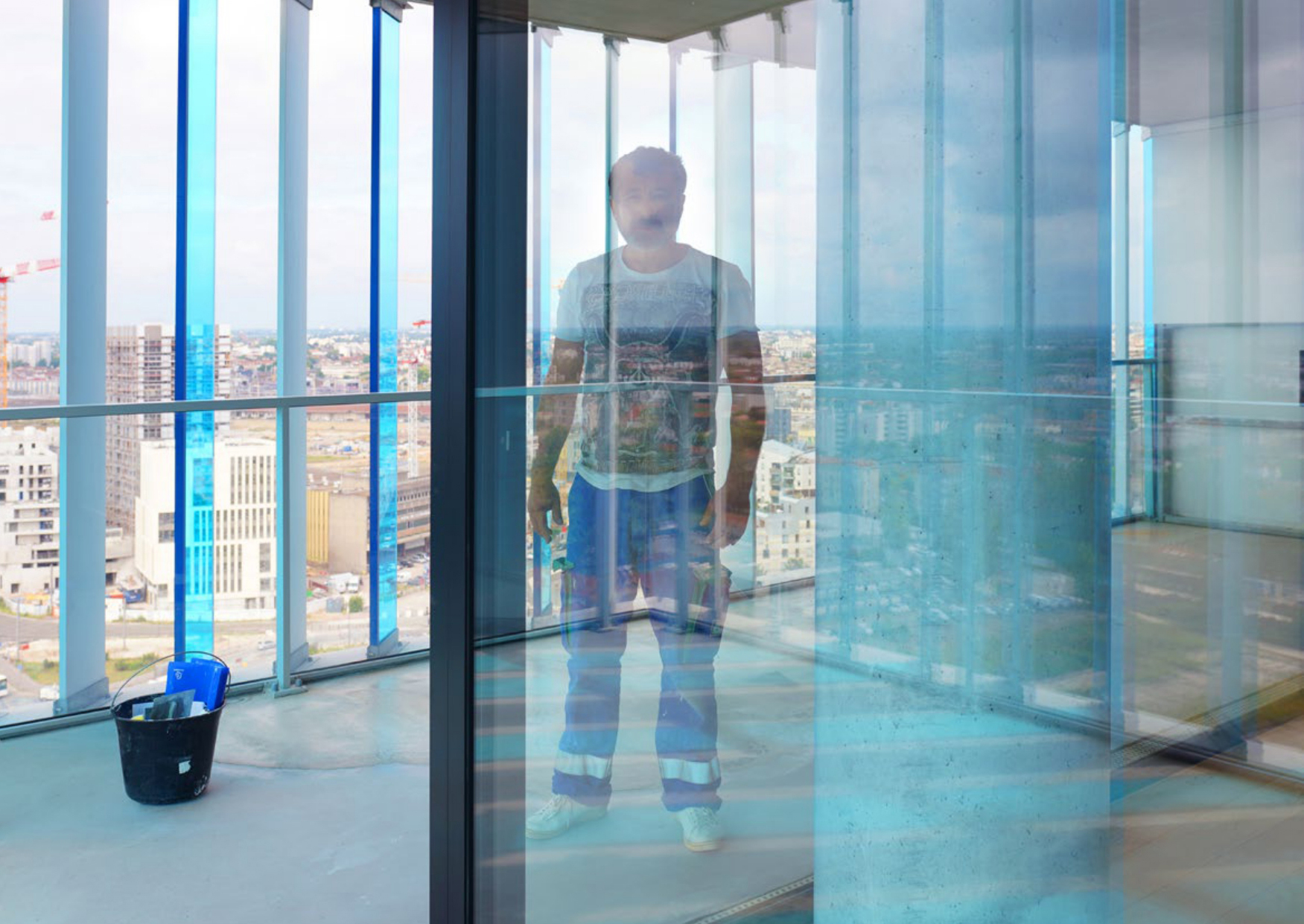
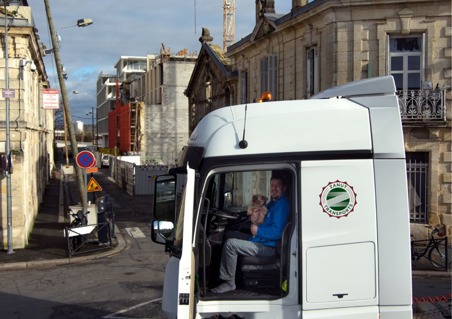
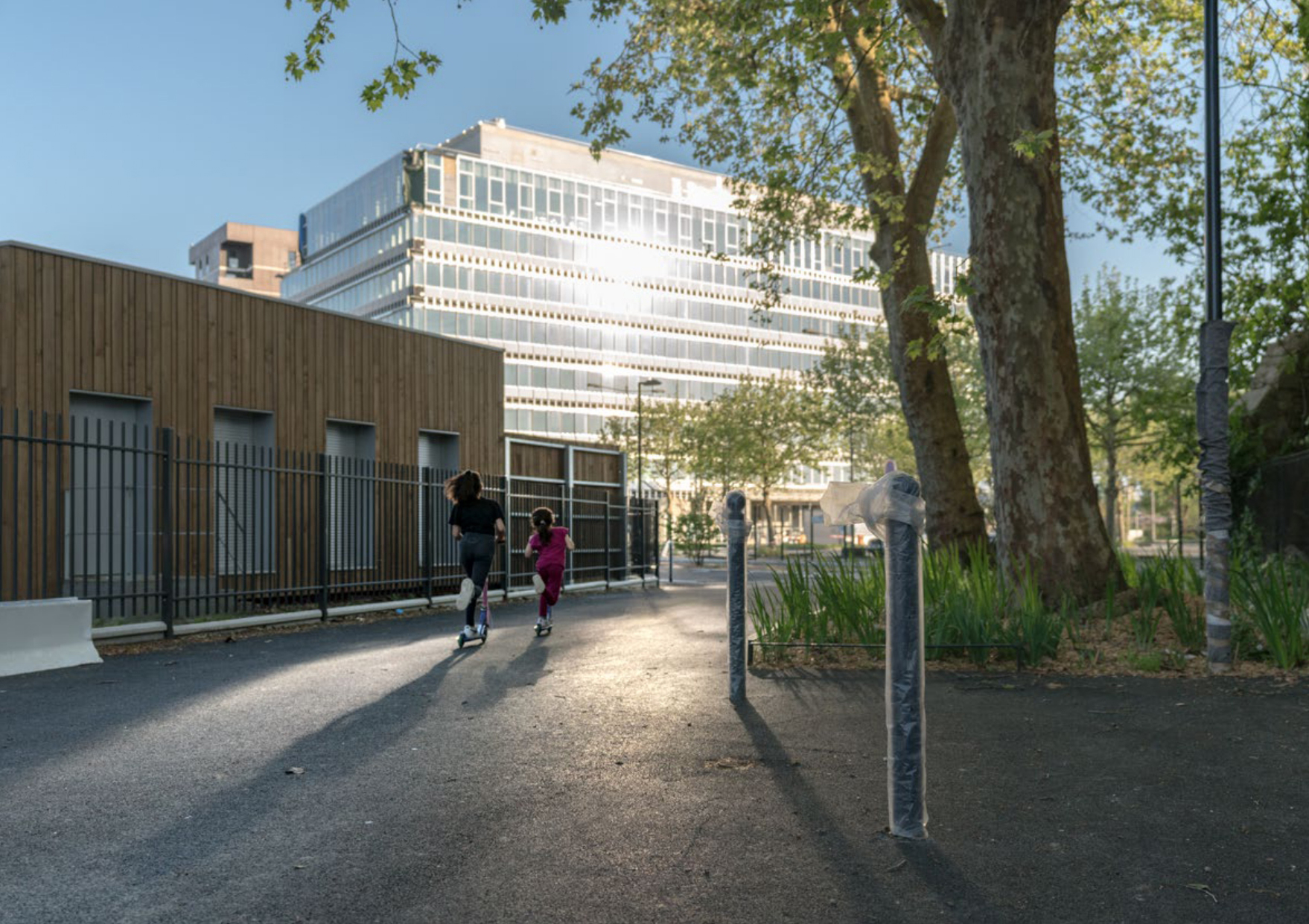
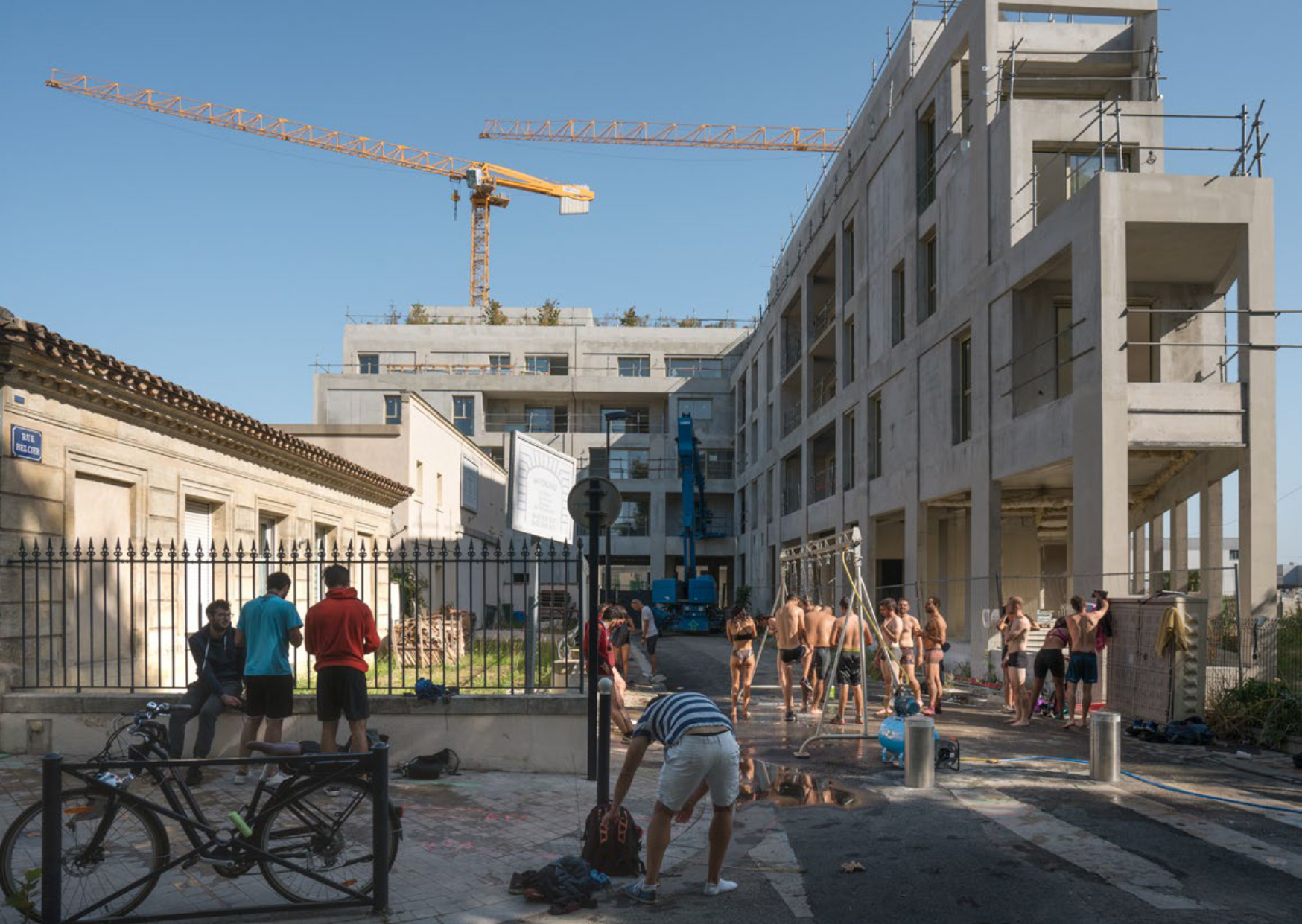
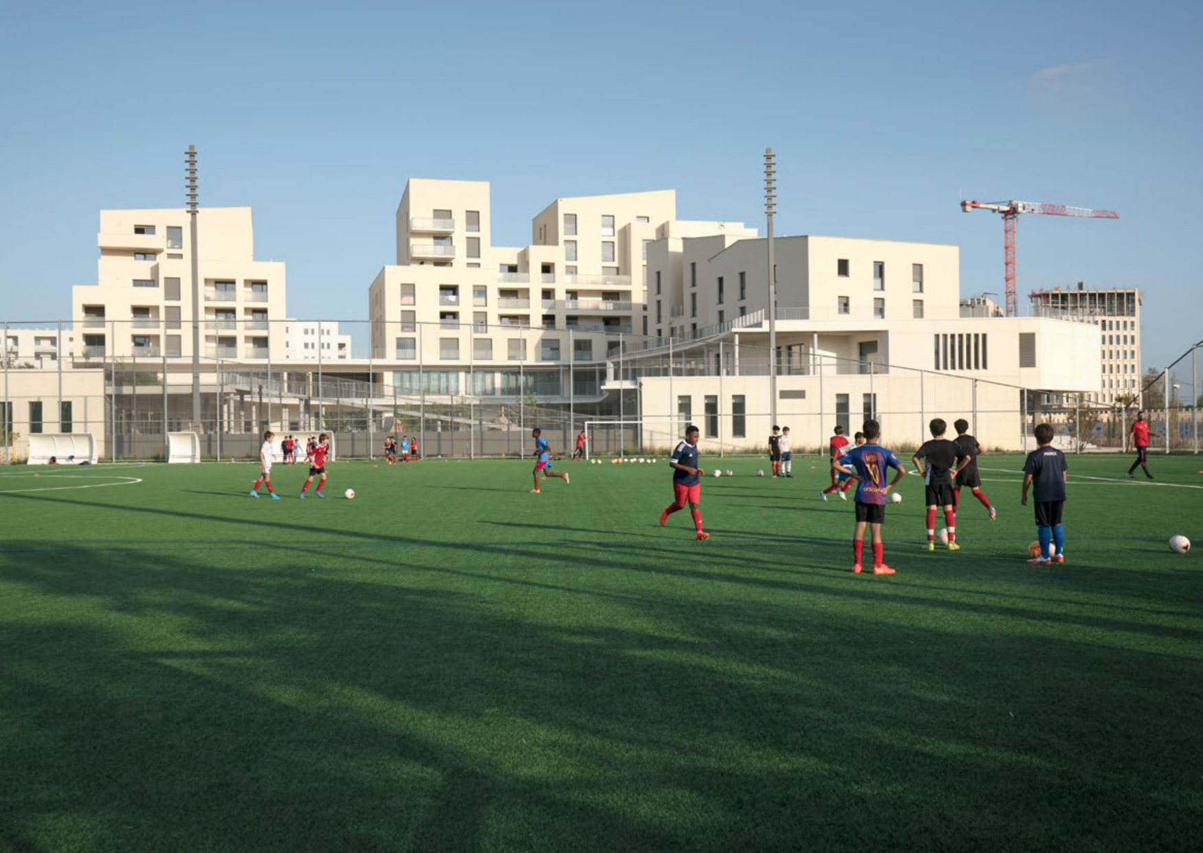
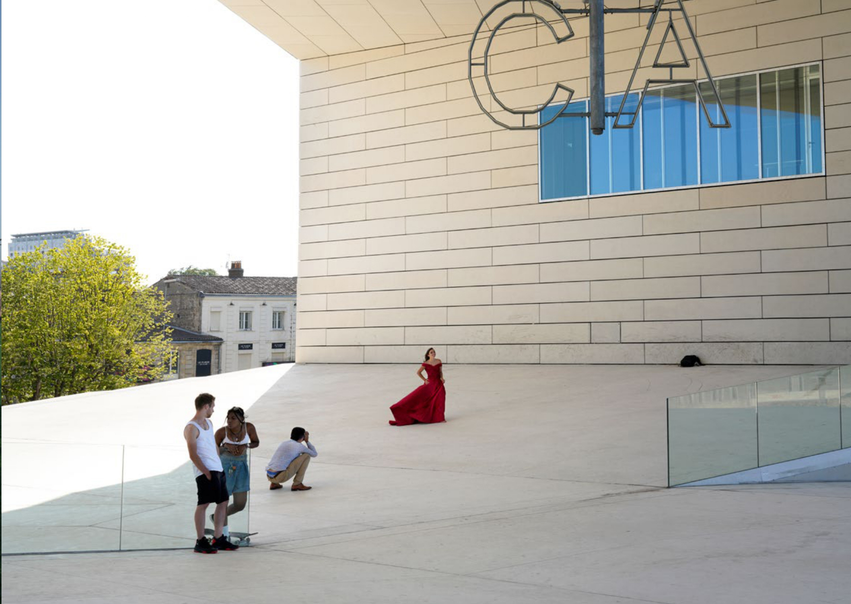
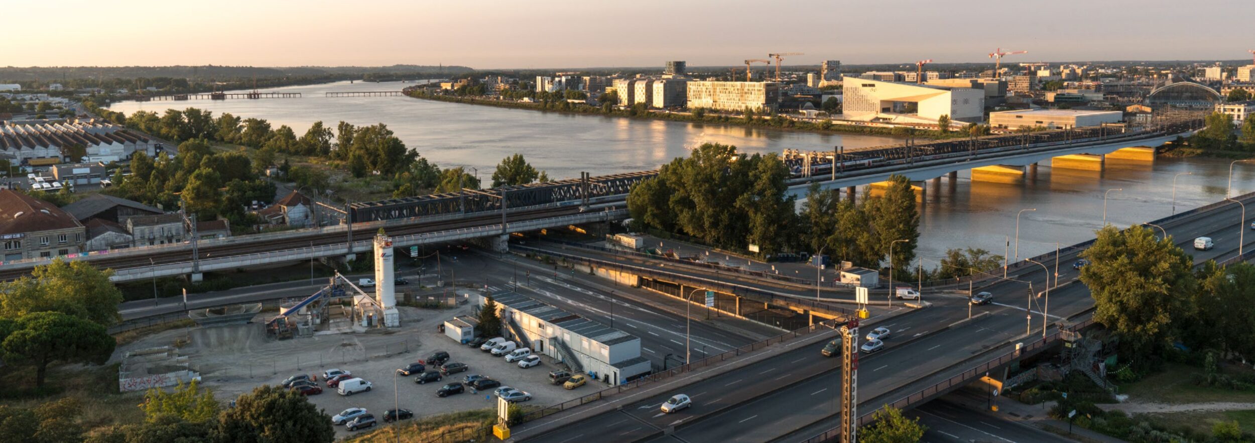
Avec ses plus de 730 hectares à cheval entre les communes de Bordeaux, Bègles et Floirac, le projet Bordeaux Euratlantique est l’une des plus vastes opérations d’aménagement en cours de réalisation en France. En 2019 l’Établissement public d’aménagement (EPA) qui pilote la transformation m’a invitée à porter son regard sur ce vaste territoire, afin d’en observer les mutations et en garder les traces. Seule ou accompagnée des habitants, je suis partie en exploration afin de prendre la mesure des métamorphoses. Presque oniriques, ces images témoignent d’une identité en cours de construction, entre grues, grands chantiers, lotissements pavillonnaires et immeubles désaffectés.
Covering more than 730 hectares straddling the municipalities of Bordeaux, Bègles and Floirac, the BordeauxEuratlantique project is one of the largest development projects currently underway in France. In 2019, the public development agency (EPA) overseeing the transformation invited me to take a look at this vast area, observe the changes taking place and document them. Alone or accompanied by local residents, I spent these last years exploring the area to assess the extent of the transformation. These almost dreamlike images bear witness to an identity in the making, amid cranes, large construction sites, housing estates and abandoned buildings.